Drone & Infrared Roof Inspection for Commercial Roofs in Durham, NC
We handle drone & infrared roof inspection for commercial roofs by starting with the roof evidence owners can act on: photos, access limits, drainage notes, wet-area clues, and the operating constraints around Research Triangle Park lab and office schedules.
Fast answers still need roof evidence.
We document the roof condition in plain language so ownership can choose repair, recovery, coating, or replacement with fewer surprises. Around RDU Airport-area logistics and loading access and Southpoint retail traffic and phased staging, the right scope often depends on timing as much as material choice.
Start ReviewWhat gets checked.
We plan the work around active tenants, roof access, weather exposure, and the actual system already on the building. The recommendation stays practical: what should be controlled now, what needs pricing, and what deserves a capital plan before the next weather window.
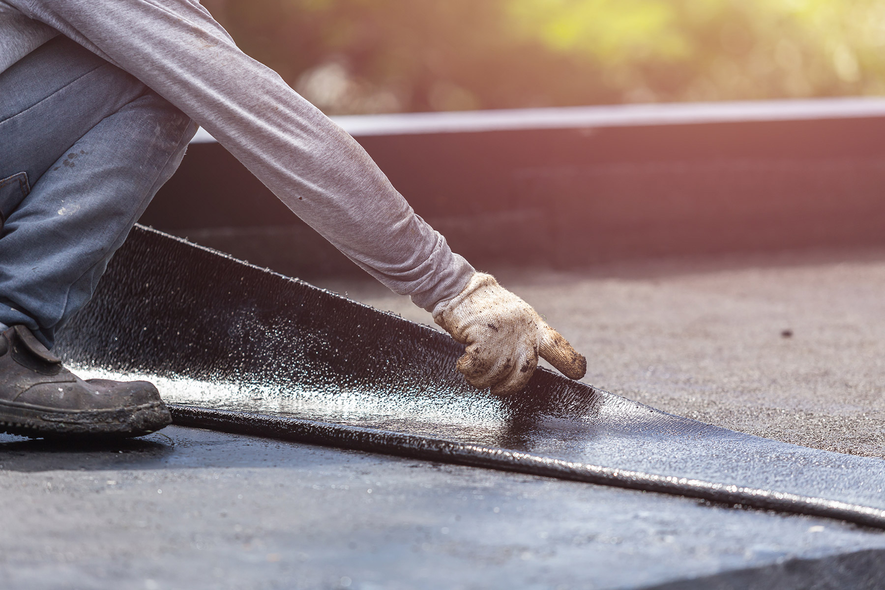
We look at membrane seams, roof drains, edge metal, penetrations, rooftop units, previous repairs, and safe access before pricing work.
What owners receive.
A written scope with photos, limits, schedule notes, and a practical recommendation for repair, recovery, coating, or replacement.
Contact UsRelated Roof Paths
Compare the next decision.
Commercial Roofing
Commercial Roofing starts with roof evidence around Duke Health and Duke University occupied-building constraints. We separate the leak, access, schedule, and material questions before a recommendation is priced.
Commercial Roof Leak Repair
Commercial Roof Leak Repair starts with roof evidence around NC-147 and I-40 service-window planning. We document the roof condition in plain language so ownership can choose repair, recovery, coating, or replacement with fewer surprises.
Commercial Roof Replacement
Commercial Roof Replacement starts with roof evidence around American Tobacco Campus roof access and tenant-hour limits. We separate the leak, access, schedule, and material questions before a recommendation is priced.
Commercial Re-Roofing
Commercial Re-Roofing starts with roof evidence around Research Triangle Park lab and office schedules. We separate the leak, access, schedule, and material questions before a recommendation is priced.
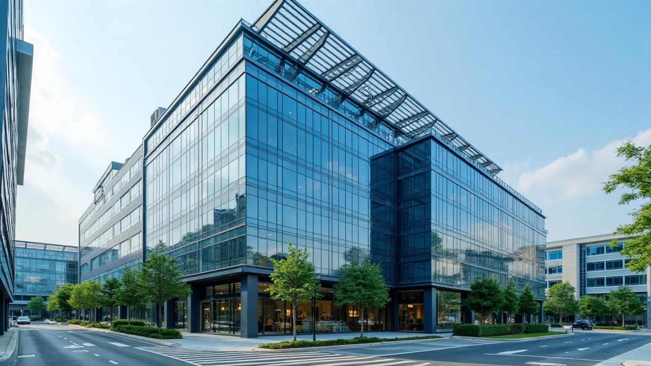
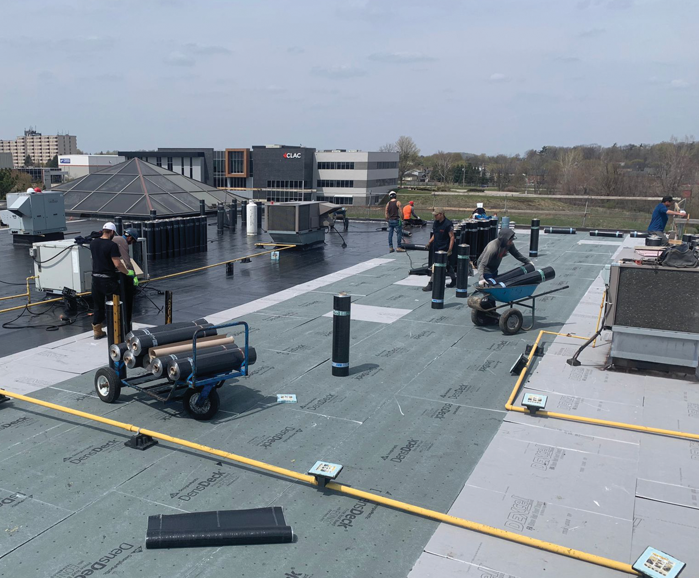
Some Durham roofs are too big to inspect well on foot
The freight and distribution buildings off the I-85 corridor, the multi-building campuses inside Research Triangle Park, and the big retail centers near Southpoint routinely run past a hundred thousand square feet of low-slope membrane. Send a two-person crew to walk that much roof and you lose most of a day, track foot traffic across the very surface you are trying to judge, and still miss the shallow ponding and seam separations that never show from standing height. We fly those roofs instead. A drone covers the whole field at a fixed altitude, builds a complete photographic record in a fraction of the time, and keeps weight off a roof whose structure we have not yet confirmed is safe.
That last part is not a small thing. When a roof is suspected of carrying saturated insulation or a corroding deck, the responsible first look is one that puts nobody on it. Flying it lets us read the surface, the drains, the penetration flashings, and the edge metal before we decide whether, and exactly where, it is safe to set foot.
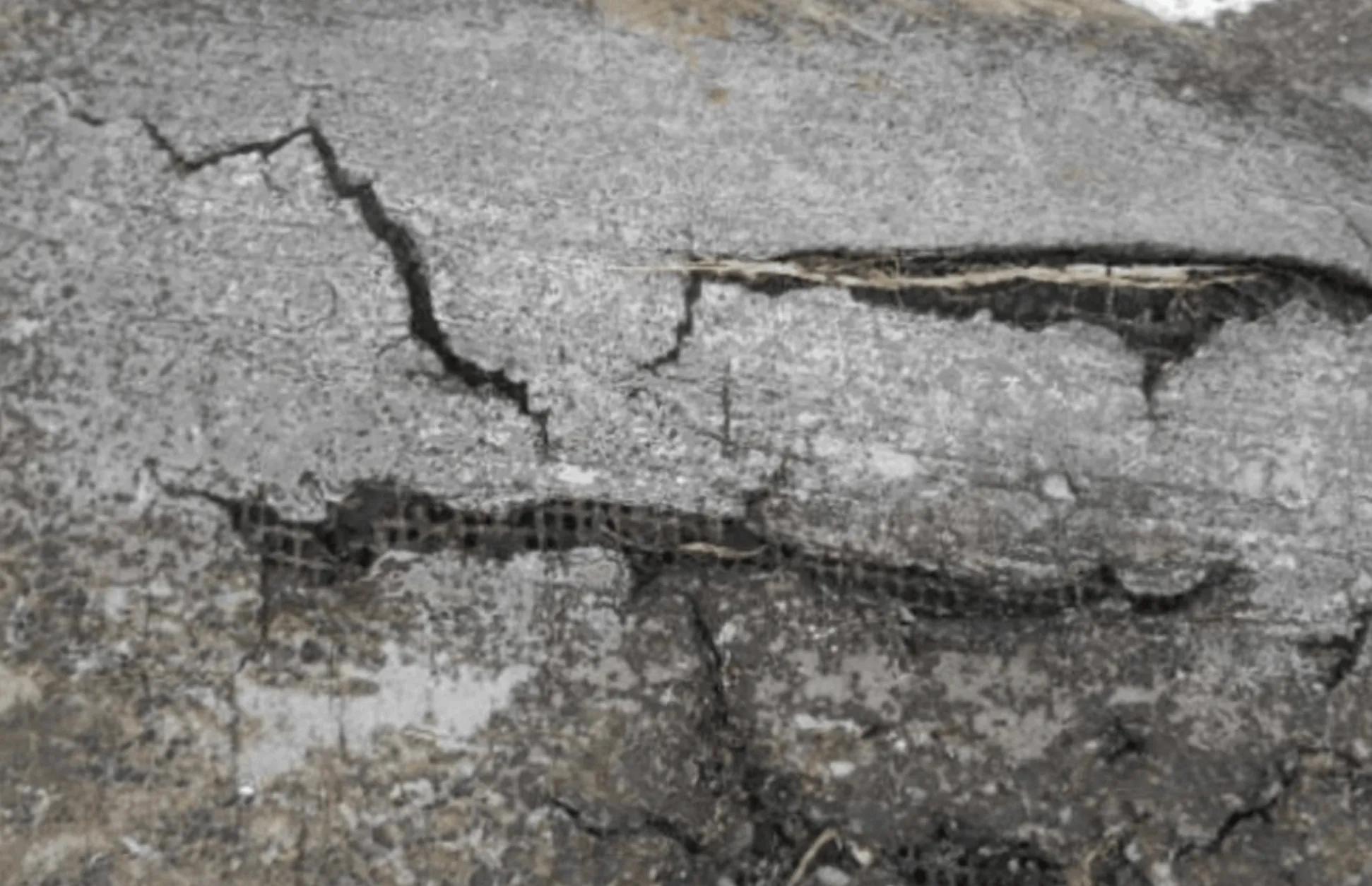
The infrared camera finds the water you cannot see
The most valuable thing a drone brings over a commercial roof is the thermal sensor. Wet insulation stores the day's heat and releases it more slowly than the dry board around it. On a clear evening, after the sun drops and the roof starts to give up heat, the saturated zones stay warmer and glow on the infrared image as sharp hot patches, even where the membrane above them looks flawless from the surface. There is no faster way to map hidden moisture across a large roof, and on a Durham building that has soaked up several humid summers, that map is often the whole point of the survey.
That moisture map drives the most expensive call an owner faces on an aging roof: repair, recover, or full tear-off. A small, contained wet area gets cut out and patched. Saturation spread across a quarter or more of the field means recovering over it would only trap the water, and replacement is the honest answer. We confirm every thermal anomaly with a physical core cut before it goes in a report, because an infrared image is a strong lead, not a verdict by itself.
When thermal works and when it does not
- It needs a clear day of sun followed by a dry, cooling evening, so we schedule flights around the forecast rather than the calendar.
- Standing water and recent rain wreck the contrast, so we wait for the surface to dry out.
- Gravel-surfaced and ballasted roofs hold heat unevenly and take more interpretation, which is exactly why core verification is part of every survey.
What the survey actually hands you
A flight is only as good as the report behind it, so we treat the deliverable as the real product. After we fly a Durham roof you get a stitched, high-resolution overhead image of the entire surface, a marked moisture map wherever thermal flagged saturation, and close-in stills of every problem area pinned to its location. Drains, scuppers, expansion joints, rooftop units, and penetration flashings are all identified, so the report doubles as an inventory of what is on the roof, not just a catalog of what is wrong with it. For a facility team running several Triangle buildings at once, that overhead-plus-thermal record becomes the document everyone points to when budgets get argued, because it shows the condition rather than describing it.
We keep the imagery on file so the next survey is a true comparison. A roof photographed the same way a year apart tells you whether a ponding area is growing, whether a flagged wet zone has spread, and whether last season's repair is holding. That year-over-year baseline is nearly impossible to build from foot inspections, where no two walkovers ever cover the roof quite the same, and it is one of the quieter reasons to standardize on aerial survey.
Flying legally and safely around the Triangle
Commercial drone work is regulated, and we treat it that way. Flights run under the FAA's Part 107 rules for small unmanned aircraft with a certificated remote pilot in command. Durham's airspace deserves respect: Raleigh-Durham International sits just southeast of the city, and the controlled airspace around it requires authorization before we fly in certain zones. We check the airspace, secure any authorization the location calls for, keep the aircraft in visual line of sight, and brief crew and tenants on the ground before launch. On occupied campuses in RTP and around Duke, we time flights so we are never operating over people who have not been told we are there.
Documentation an adjuster can actually use
After a hail or wind event, the value of the flight is the record it produces. We deliver GPS-tagged imagery that pins every finding to a spot on the roof: hail-strike density across the field, lifted or displaced membrane from wind, damaged rooftop units and flashings, and overall surface condition. The package is built to line up with what commercial property adjusters expect to review, so it can drop straight into a claim file. For a building manager working capital budgets, that same imagery becomes the baseline condition record that makes next year's comparison mean something.
Sharper numbers going into a reroof bid
Before anyone writes a reroof proposal, an aerial survey nails the real measurements. We confirm roof area, locate every penetration and curb, fix the drain positions, and document existing conditions for the specification. A bid built on measured conditions instead of guesses from a fast walkover carries fewer surprises, which means fewer change orders and fewer requests for information once a crew is up there and the clock is running.
Where drone inspection earns its keep in Durham
- Large flat industrial and warehouse roofs along I-85, US-70, and the Page Road logistics belt.
- Retail centers and grocery anchors around Southpoint and NC-147.
- Any commercial roof over roughly ten thousand square feet where an honest, complete condition assessment is the goal.
Getting a flight on the schedule
For planned condition surveys around Durham we can usually be on site within a few business days, weather permitting, since the thermal work depends on the right conditions. After a significant storm, post-event documentation for an insurance claim jumps to the front of the line, and we work to get the flight done within a day or two while the damage is still fresh. Send us the building location and roof size and we will give you a realistic turnaround.